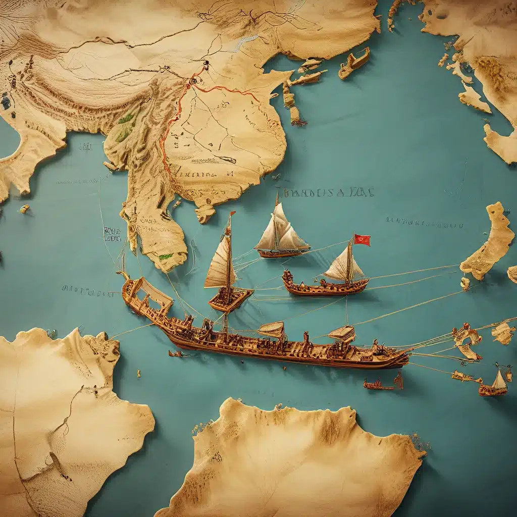
Humanity’s thirst for knowledge and understanding of our past has driven us to uncover the hidden stories etched in the sands of time. One such remarkable discovery that has captivated historians and archaeologists alike is the Selden Map, a 17th-century masterpiece that sheds light on the intricate web of ancient trade routes that connected the far-flung corners of the world.
Unveiling the Selden Map: A Treasure Trove of Historical Insights
The Selden Map, named after its former owner, John Selden, is a unique example of Chinese merchant cartography, dating back to the early 17th century. This remarkable document, measuring an impressive 16 by 1 meter, depicts a network of shipping routes that stretched from the port of Quanzhou in China’s Fujian province all the way to Japan and India.
What makes the Selden Map so fascinating is its fusion of cultural influences, reflecting the interconnectedness of the ancient world. Unlike the European maps of the time, which were primarily focused on the Portuguese trade routes, this map showcases the ancient maritime trade routes that were in use long before the arrival of European explorers. The map’s use of Chinese writing characters alongside its stylistic elements akin to Persian or Indo-Persian manuscripts suggests a diverse cultural heritage.
Unraveling the Mysteries of the Selden Map
The Selden Map’s secrets have been gradually unraveled through the tireless efforts of a team of researchers led by Sotria Kogou from the School of Science and Technology at Nottingham Trent University. Using cutting-edge spectral imaging technologies, the researchers have been able to examine the map in unprecedented detail, revealing insights about its materials, pigments, and the cartographer’s process.
One of the most intriguing findings is the use of gum Arabic as the binding material, a common practice in South and West Asia as well as Europe, rather than the animal glue typically used in Chinese documents. This, combined with the presence of unorthodox Chinese characters, has led the researchers to propose an alternative origin for the map – Aceh, a port city on the northwest coast of Sumatra, Indonesia.
Aceh’s strategic location at the crossroads of Indian Ocean trade routes and its long history of Chinese contact and Islamic influence make it a plausible candidate for the map’s production. The researchers believe that the map may have been created by a Fujianese individual with close ties to the Islamic world, reflecting the cultural fusion that thrived in this vibrant trading hub.
Unraveling the Secrets of Ancient Global Trade
The Selden Map is just one example of the countless archaeological treasures that continue to shed light on the complex networks of ancient global trade. From the Via Maris trade route that connected the Mediterranean to the Levant, to the Maritime Silk Road that linked East Asia to the Indian Ocean region, these ancient pathways played a pivotal role in shaping the course of human civilization.
The Via Maris: A Vital Conduit of Ancient Trade
The Via Maris, or the “Way of the Sea,” was a crucial land and maritime trade route that connected the ancient Near East to the Mediterranean world. This ancient network of roads and sea lanes facilitated the exchange of goods, ideas, and cultural influences between civilizations such as Egypt, Mesopotamia, and the Levant.
The strategic location of the Via Maris made it a vital hub for the exchange of commodities, including spices, luxury goods, and raw materials. The route’s importance is evident in the archaeological evidence found along its path, such as the remains of ancient cities, caravanserais, and fortified outposts that served as hubs for traders and travelers.
The Maritime Silk Road: Connecting the East and the West
The Maritime Silk Road, also known as the “Spice Route,” was a vast network of sea trade routes that connected East Asia to the Indian Ocean region and beyond. This expansive system of maritime pathways facilitated the exchange of goods, technologies, and cultural influences between civilizations as far-reaching as China, India, the Middle East, and even Africa.
The Maritime Silk Road was a testament to the ingenuity and seafaring prowess of ancient cultures, who harnessed the power of the wind and waves to establish a thriving global economy. The discovery of ancient shipwrecks, port cities, and trading posts along the route has provided invaluable insights into the scale and complexity of this ancient global trade network.
Unlocking the Mysteries of the Past
As we continue to explore the archaeological wonders scattered across the globe, we are constantly reminded of the interconnectedness of ancient civilizations and the importance of understanding their shared history. The Selden Map, the Via Maris, and the Maritime Silk Road are just a few of the many historical treasures that hold the keys to unlocking the secrets of our past.
By delving deeper into the material evidence, written records, and cultural traditions left behind by our ancestors, we can gain a more nuanced and comprehensive understanding of the complex web of trade, exchange, and cultural diffusion that shaped the course of human history. The Lost Kingdoms website is dedicated to sharing these captivating stories and empowering readers to explore the mysteries of the past.
As we continue to uncover the hidden histories of ancient trade routes and the civilizations they connected, we are reminded of the enduring human desire to explore, to learn, and to connect with our shared past. The Selden Map and other such archaeological marvels stand as testament to the resilience and ingenuity of our ancestors, inspiring us to continue our quest for knowledge and understanding of the world that came before us.


