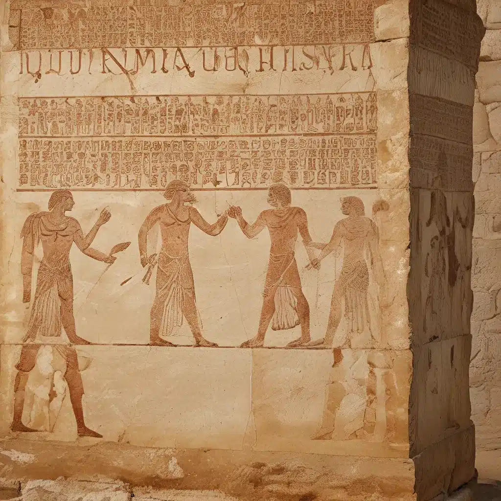
Understanding the Past through Archeological Mapping
The study of ancient civilizations has long captivated the human imagination, drawing scholars, adventurers, and the curious alike to uncover the mysteries of bygone eras. At the heart of this fascination lies the art and science of archaeology, a discipline that has evolved dramatically over the centuries, harnessing the power of mapping to reveal the layered histories of the past. From the Roman Empire to the Minoan-Mycenaean civilization, the mapping of ancient sites has become a crucial tool in piecing together the fragmented narratives of humanity’s shared heritage.
Mapping the Roman Empire: Tracing the Paths of Power
One of the most renowned and influential ancient civilizations, the Roman Empire, has left an indelible mark on the world. Its vast network of paved roads, known as the cursus publicus, connected distant corners of the empire, facilitating the movement of goods, people, and ideas. The Tabula Peutingeriana, a medieval map believed to be a copy of a Roman original, has become a testament to the empire’s extensive transportation infrastructure, depicting a sprawling network of routes radiating from the city of Rome.
Historians and archaeologists have long been fascinated by the implications of this cartographic representation, which not only reveals the physical extent of the Roman world but also hints at the centralized power and administrative prowess that sustained it. By mapping the roads and trade routes that crisscrossed the ancient Mediterranean, scholars have gained valuable insights into the sociopolitical and economic structures that underpinned the Roman Empire’s rise and expansion.
Unearthing the Minoan-Mycenaean Civilization
While the Roman Empire has long captured the public’s imagination, another ancient civilization, the Minoan-Mycenaean, has also captured the attention of archaeologists and historians. Centered in the Aegean Sea, this sophisticated culture flourished during the Bronze Age, leaving behind a rich tapestry of architectural and artistic wonders.
The archaeological excavations of Sir Arthur Evans at the Palace of Knossos on the island of Crete in the late 19th and early 20th centuries have been instrumental in reconstructing the societal structure and cultural practices of the Minoan-Mycenaean people. Through the meticulous mapping of the palace’s complex layout and the analysis of its artistic and material remains, Evans and his team were able to piece together a vivid portrait of this ancient civilization, shedding light on its advanced urban planning, religious rituals, and trading networks**.
The Power of Mapping in Uncovering the Past
The role of mapping in the study of ancient civilizations cannot be overstated. Archeological maps have become invaluable tools in the quest to unravel the mysteries of the past, serving as a visual and analytical framework for understanding the spatial and temporal dimensions of human history.
Cartographic representations of ancient sites, such as the ruins of Pompeii, have enabled researchers to reconstruct the layout and organization of urban spaces, shedding light on the daily lives and social structures of their inhabitants. Furthermore, the layering of historical maps over modern landscapes has allowed scholars to trace the evolution of these ancient settlements, revealing how they have been transformed or preserved over time.
Framing the Past: The Influence of Maps on Perception
The power of mapping in the study of ancient civilizations extends beyond the practical applications of spatial analysis and reconstruction. Maps have also played a crucial role in shaping the public’s perception of the past, influencing how we visualize and conceptualize ancient cultures.
The cartographic representations of the Roman Empire and the Minoan-Mycenaean civilization, for instance, have imbued these ancient worlds with a sense of grandeur, connectivity, and order. Maps have the ability to transform the fragmentary and disjointed archaeological evidence into coherent and compelling narratives, captivating the imagination of scholars and enthusiasts alike.
Moreover, the aesthetics of historical maps, with their detailed engravings, intricate designs, and vivid depictions of landmarks, have contributed to the romanticization of the past, evoking a sense of nostalgia and wonder in those who encounter them.
Navigating the Palimpsests of the Past
As the field of archaeology continues to evolve, the role of mapping in the study of ancient civilizations becomes increasingly crucial. Technological advancements, such as GIS (Geographic Information Systems) and remote sensing, have expanded the analytical and visualization capabilities of archaeologists, enabling them to uncover and interpret the layered histories of the past with greater precision and nuance.
The metaphor of the palimpsest, a manuscript that has been erased and reused, aptly captures the complexity of ancient sites, where multiple historical periods and cultural influences have been superimposed over time. Mapping has emerged as a powerful tool in navigating these palimpsests, allowing researchers to disentangle the various temporal and spatial dimensions of human habitation and activity.
Conclusion: Embracing the Multidimensional Nature of the Past
The study of ancient civilizations through the lens of mapping has revealed the multifaceted and dynamic nature of the human experience across time and space. Maps have become essential instruments in the reconstruction of lost worlds, unveiling the intricate patterns of human movement, settlement, and cultural exchange that have shaped the course of history.
As we delve deeper into the rich tapestry of antiquity, the role of mapping in uncovering and interpreting the layered histories of the past will only grow in importance. By embracing the multidimensional nature of the past, scholars and enthusiasts alike can gain a richer understanding of the human experience, inspiring us to cherish the fragile yet resilient legacy of our shared heritage.


